
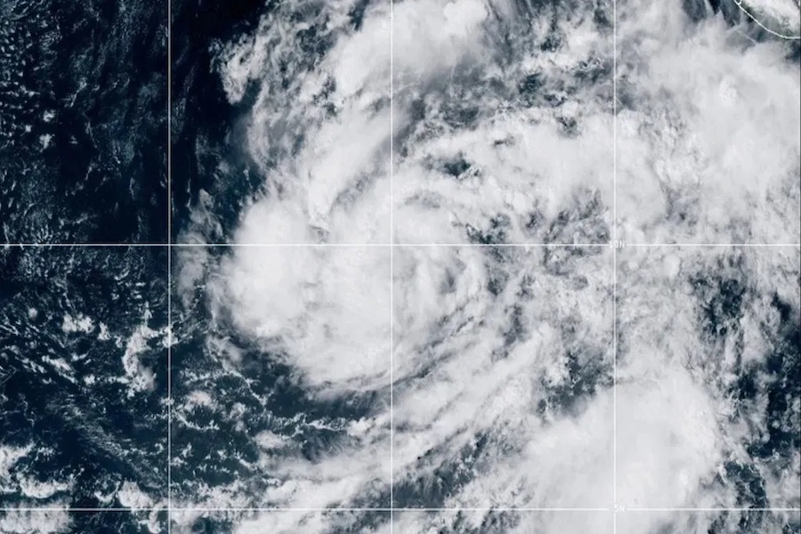
Hurricane Vance, the 22nd named storm of the 2026 eastern North Pacific season, strengthened into a Category 1 hurricane on Friday and is expected to strengthen to a major Category 3 hurricane as it barrels towards Mexico's pacific coast.
As of the National Hurricane Center's 9:00 a.m. Central Time advisory, the storm was located approximately 455 miles southwest of Acapulco, Mexico, and 590 miles southeast of Manzanillo
Maximum sustained winds had increased to 90 mph, with higher gusts, and the minimum central pressure was estimated at 979 millibars. The hurricane was moving northwest at about 5 mph, while hurricane-force winds extended outward up to 35 miles from the center. Tropical-storm-force winds reached as far as 205 miles.
Satellite intensity estimates ranged from 70 to 79 knots, supporting the initial intensity of 80 knots, or 90 mph. This was consistent with the storm undergoing steady to rapid strengthening in a favorable atmospheric environment characterized by low wind shear and sufficient moisture.
POLL: Is JD Vance A Better Vice President Than Mike Pence?
BREAKING: Vance has become a hurricane as it churns off the coast of Mexico, the National Hurricane Center said early Friday. The center said the storm is expected to strengthen rapidly and could be a major Category 4 hurricane before the end of the day. https://t.co/pkRwR3Hlvy
— The Associated Press (@AP) October 23, 2026
The National Hurricane Center forecast indicates that steady to rapid strengthening is expected to continue through Saturday morning, with Vance projected to become a major hurricane. Peak intensity is forecast near 110 knots, or 115 mph, around midday Saturday.
At that point, it is expected to weaken starting late Saturday and into Sunday morning. Factors contributing to the later weakening include a region of reduced oceanic heat content and sea surface temperatures north of the current position, along with an expected increase in southwesterly and westerly vertical wind shear within about 24 hours.
Regarding the track, a slow motion toward the northwest or north-northwest is expected to continue through the weekend. The center is being steered by a weak mid-level ridge over eastern Mexico and the eastern Pacific, with later influence from a mid- to upper-level trough over the western United States and adjacent areas.
No coastal watches or warnings are in effect, and the current forecast does not indicate landfall of the center. Landfall is unlikely but not impossible, as some models have projected a more eastward shift.
The primary hazard affecting land is elevated surf. Swells generated by Vance are expected to begin impacting portions of the southern and southwestern coasts of Mexico this weekend and continue into next week, producing conditions conducive to dangerous surf and rip currents.
Tropical-storm-force wind probabilities for coastal locations over the next five days remain modest, with higher values near Manzanillo and lower farther north or south. Forecasters note that track and intensity forecasts may change with subsequent advisories as the system evolves.
The Trending Politics News app is your home for breaking updates. Download it FREE today!

Source link


